-
Załączniki bezpieczeństwa
Załczniki do produktuZałączniki dotyczące bezpieczeństwa produktu zawierają informacje o opakowaniu produktu i mogą dostarczać kluczowych informacji dotyczących bezpieczeństwa konkretnego produktu
-
Informacje o producencie
Informacje o producencieInformacje dotyczące produktu obejmują adres i powiązane dane producenta produktu.Lombardy Studios
-
Osoba odpowiedzialna w UE
Osoba odpowiedzialna w UEPodmiot gospodarczy z siedzibą w UE zapewniający zgodność produktu z wymaganymi przepisami.
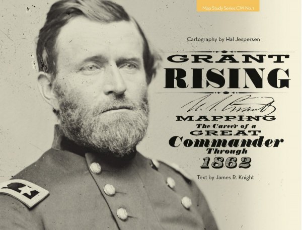
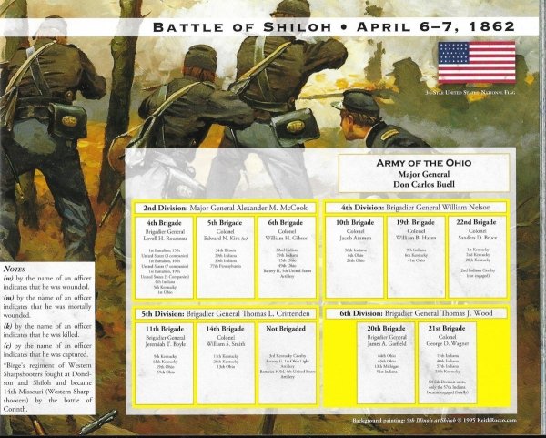
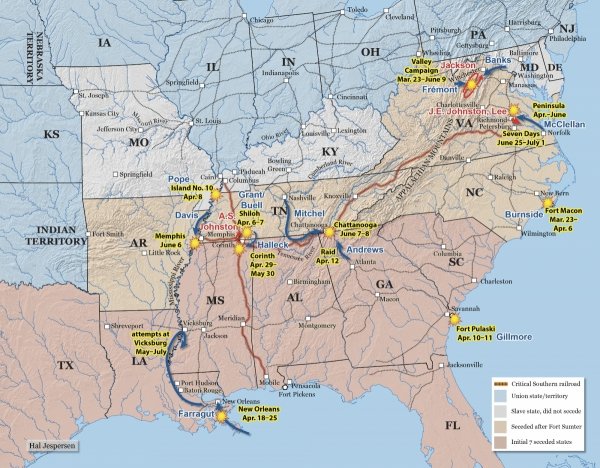
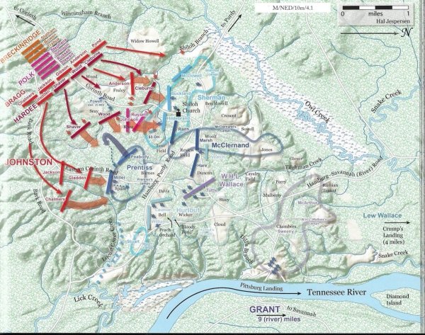
“Grant Rising is breathtaking. How I wish I had this book when doing Grant Moves South or working on the Shiloh game for West End! I love the way it emphasizes the command organizations, both in the maps and in the diagrams. This is too often neglected—armies are treated as a big pile of Rebels against a bigger heap of Yankees, not the way it was at all. Your clear color diagrams of the army organizations are a beautiful sight for anyone who’s worked his way through the small print of Battles & Leaders! I also love the way your campaign maps clearly indicate dates as the armies progressed, as this is critical to understanding the action at that level. It’s a beautiful volume and I will treasure it”
—Jonathan Southard, multiple award–winning designer of Grant Moves South, The Battle of Shiloh, and numerous other wargames.
“Grant Rising offers up the best map renderings of the U.S.–Mexican War and early Civil War Western Theater operations ever published. It illustrates the classic marches and battles that we have all studied, but the terrain features, color and attention to detail help to unlock dozens of books on these subjects.”
—Evan C. Jones, editor of Gateway to the Confederacy: New Perspectives on the Chickamauga and Chattanooga Campaigns, 1862–1863.
- 46 full-color, full-page (11-by-8.5-inch) landscape format maps, 8 pages of full-color orders-of-battle, sidebars, appendices, index.
- New information not previously published in map form, including Grant’s early life and his pre-Civil War career.
- Different tints of of red and blue differentiate commands – unique to our maps and essential to understanding command relationships in complex battles – colors tints help separate multiple units of the same side on a single map, making the action easier to understand.
- 3 orders-of-battle are similarly coded to the same command colors on the maps.
- Lavish color maps with a shaded relief show the shape of the terrain.
- Strategic overview maps place regional operations and battles in context.
- Concise text, supported by quotations from participants and observers.
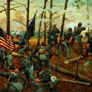
- Original artwork by Keith Rocco!


